Design and planning is underway for the station precincts.
'Station precinct' refers to the area around a station and how the station fits within the local community and nearby streets.
Queensland Government must adhere to Queensland Rail standards when designing stations and station precincts.
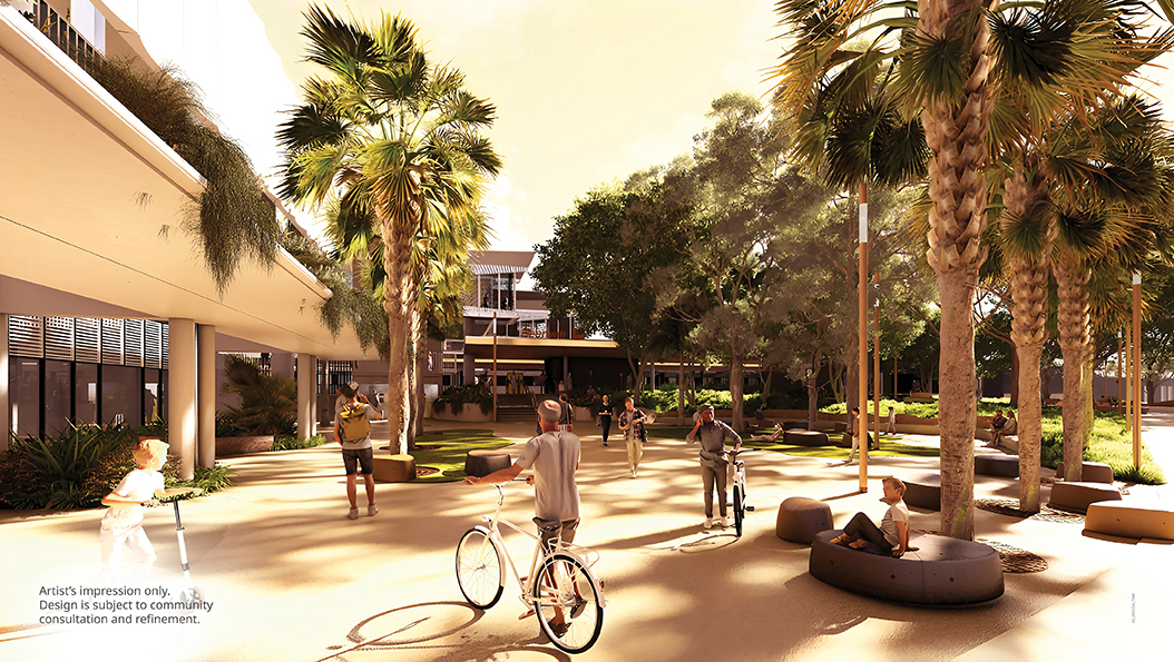
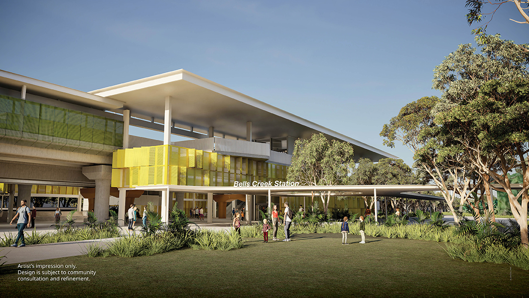
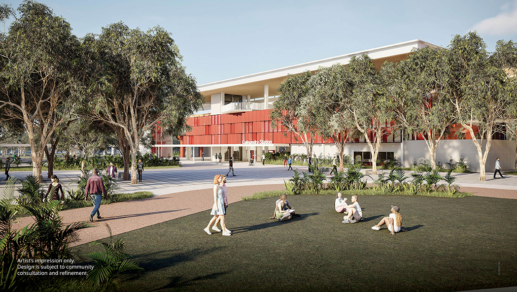
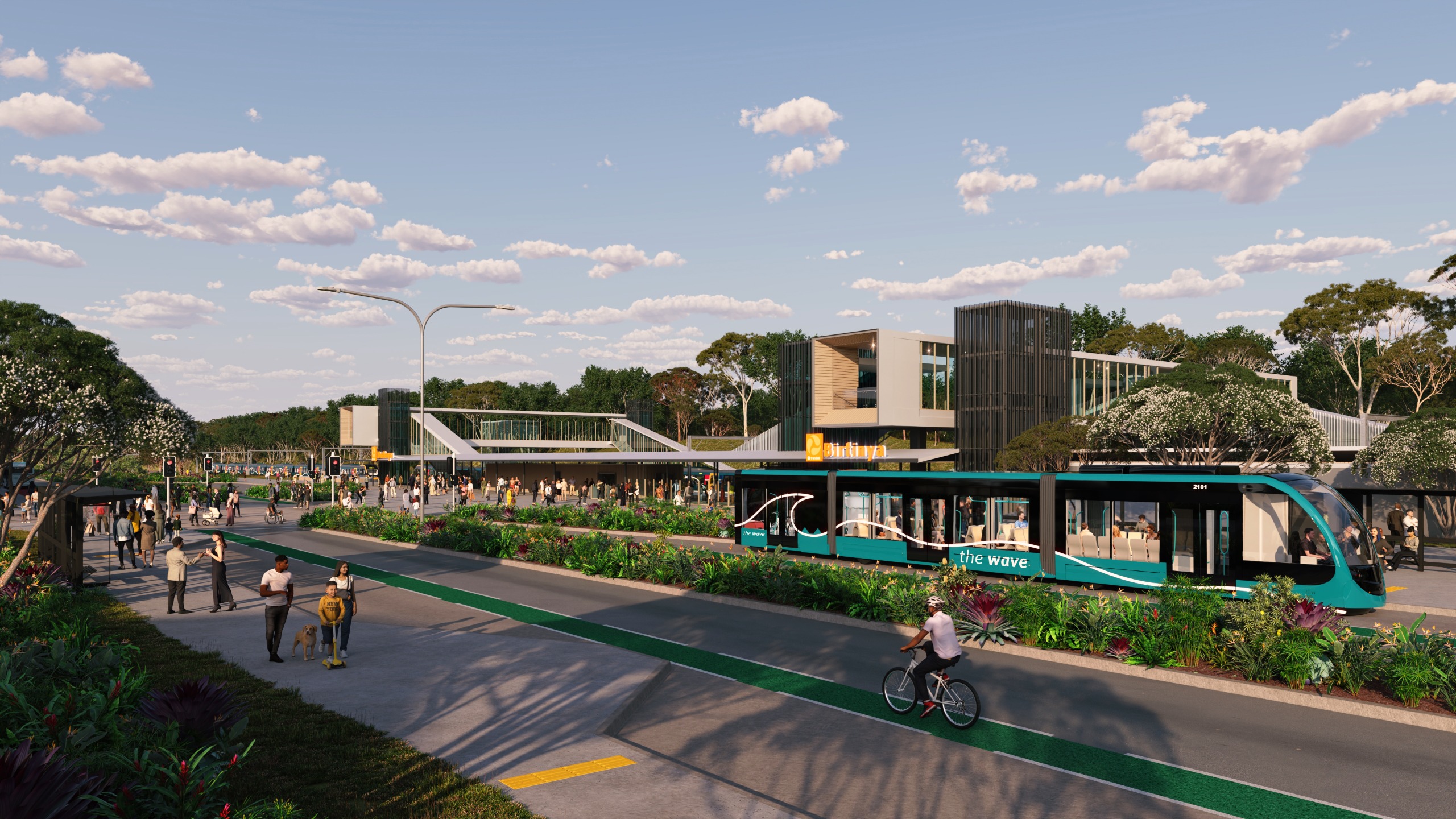
The Wave (Rail) Artist's impressions
Image 1 of 4
Accessibility
The Wave stations will be accessible for everyone. The project team is liaising with disability specialists to ensure best practice access and use needs are incorporated into the designs.
All stations will include:
- high quality, accessible, efficient and direct access to connecting public transport services and between platforms
- legible, clear and consistent wayfinding and information.
Walking network plans
Active transport infrastructure (such as pathways for walking and bike riding) is an important part of the station precinct planning. This gives people options for how they travel to and from stations.
TMR has developed walking network plans for Beerwah, Caloundra and Aroona stations.
Community input was gathered for these plans in 2024 through the feedback maps (below) and face-to-face workshops. Key walking routes, access points, safety issues, locations for road crossing points and seating, and areas for improvement were identified.
Walking network plans show the primary and secondary routes for walking through an area and also running and moving with the help of a mobility device such as a wheelchair, mobility scooter, mobility cane or a walking frame.
Walking network plans focus on important local destinations such as town centres, public transport stops, schools, shops and hospitals. The routes can extend as far as two kilometres from the destination.
Walking network plans for the Bells Creek (Aura) and Birtinya stations have been prepared as part of the master planning for these communities.
The project will now deliver some of the infrastructure in these plans and will continue to work with Sunshine Coast Council for delivery of future active transport connections, in line with the walking network plans.
Beerwah station
The feedback captured in the interactive map below was used to shape walking improvements around Beerwah station, including station access and a two kilometre radius around the station.
The interactive map for this project closed on 16 June 2024.
Caloundra station
The feedback captured in the interactive map below was used to shape walking improvements around the new Caloundra station, including station access and a two kilometre radius around the station.
The interactive map for this project closed on 16 June 2024.
Aroona station
The feedback captured in the interactive map below was used to shape walking improvements around the new Aroona station, including station access and a two kilometre radius around the station.
The interactive map for this project closed on 16 June 2024.


