Supports growth
Faster, more reliable travel to homes, jobs and essential services
Faster, more reliable travel to homes, jobs and essential services
Public transport link between Brisbane, Moreton Bay and the Sunshine Coast
Stations near beaches, sports precincts and accommodation to enable easy multi‑modal trips
A faster alternative to private vehicles, improving access for non‑drivers and less reliance on private vehicles
Delivers expanded active transport links for the region
The Wave (Rail) – Stages 1 and 2 builds on planning completed in 2001 by the Caboolture to Maroochydore Corridor Study (CAMCOS). The CAMCOS corridor was preserved (protected from development) in 2001. This corridor included provision for a single-track rail line, designed to rail standards in 2001. Rail planning and policies have changed since 2001; the corridor alignment was reviewed as part of the business case.
The detailed business case included a review of the preserved corridor to refine the alignment and station locations, a detailed analysis of design, risks, financials, economics, environmental impacts, community impacts and utilities.
The alignment review:
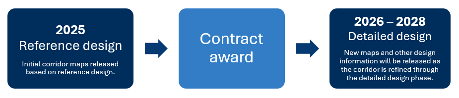
Maps will be further refined in the detailed design phase.
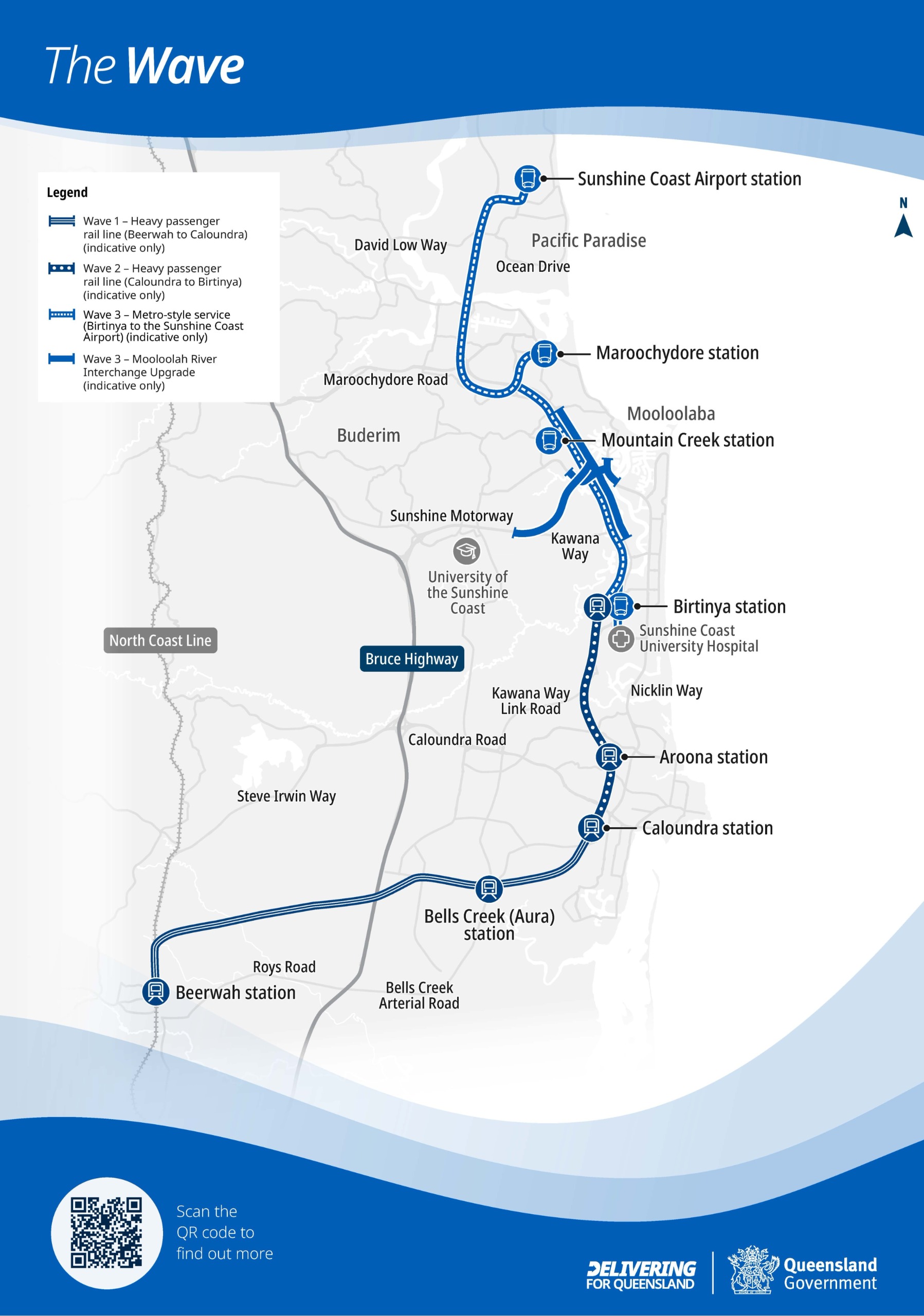
The Wave map (Stage 1, Stage 2 and Stage 3)
For more project information on what's happening in your region visit www.tmr.qld.gov.au/Projects
Other Queensland Government consultations can also be found at www.getinvolved.qld.gov.au


